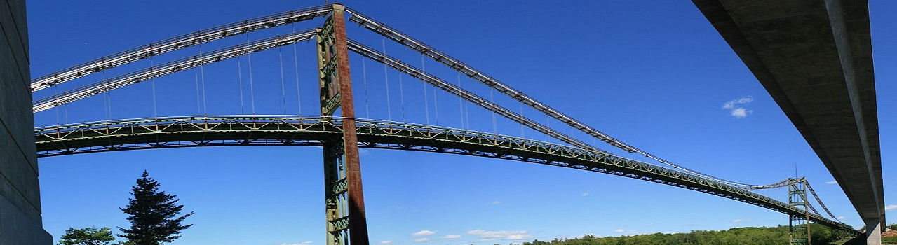

3D Laser scanning services & As-Buit Surveys
We rebuild the geometry of elements and infrastructures using 3D laser scanner technology
Our laser scanning solutions
Our advanced 3D scanning system offers a powerful and versatile tool for capturing highly accurate, detailed, and georeferenced 3D data and images efficiently, making it valuable for a range of applications across various industries.
The systems we use offer high-precision 3D data as well as images at a scanning speed of up to 1 million dots per second with a range of up to 330 m for color dot clouds with high level of detail and clarity Own of the real world. The great advantage is in the acquisition of data using these two techniques is based on the precision, density of the cloud of points, georeferencing and acquisition-processing times.

01
Technical characteristics
-
Remote capture up to 330 meters away
-
Accuracy +/- 2 mm
-
The camera offers realistic color data up to 70 megapixels
-
Independent data capture to visibility or light conditions

02
Our work process
Absolutely, capturing a comprehensive and accurate 3D model often requires multiple scans from various angles to cover all sides and details of the object or scene. This process is crucial for creating a complete and detailed representation. Let's further elaborate on the steps involved in the 3D model capture flow:
-
Multiple Scans from Different Angles:
-
Perform multiple scans of the object or scene from various viewpoints. These scans are often taken from different positions and orientations to capture all surfaces and details.
-
-
Data Acquisition and Point Cloud Generation:
-
Each scan produces a point cloud representing the object's geometry and features. The points in the cloud are usually generated using the scanning system's laser or depth-sensing technology.
-
-
Alignment or Registration:
-
Combine and align the individual point clouds into a single, unified point cloud.
-
Use alignment or registration algorithms to match common features in overlapping areas of the scans and align them into a consistent reference frame.
-
-
Coordinate Transformation:
-
Transform the local coordinates of each point cloud into a common, global coordinate system.
-
This process involves accurately aligning and registering the scans so that they fit seamlessly and accurately together, creating a coherent 3D model.
-
-
Integration and Meshing:
-
Integrate the aligned point clouds to create a more structured representation, often in the form of a 3D mesh or surface.
-
Meshing involves connecting the points to form triangles or polygons, creating a surface mesh that represents the object's structure.
-
-
Texture Mapping (Optional):
-
Project the images captured during the scanning process onto the 3D mesh to apply textures and color, enhancing the visual realism of the model.
-
-
Cleaning and Refinement:
-
Clean the model by removing noise, outliers, or unwanted artifacts that may have been introduced during the scanning or alignment process.
-
Refine the model to improve its accuracy, detail, and overall quality.
-
-
Final 3D Model:
-
The resulting 3D model is a complete, unified representation of the object or scene, capturing its geometry, texture, and details from all angles.
-
This comprehensive 3D model capture flow ensures that the final model accurately represents the object or scene, enabling various applications such as virtual reality, augmented reality, 3D printing, simulation, analysis, and more.

Whether you're upgrading a facility, changing its intended use, or just maintaining current status awareness, you'll maintain the interior and exterior security of your industrial building with more accurate As-Built virtual models that can be maintained for the life of the facility. of the installation.
Our expert laser scanning team uses the fastest and most accurate 3D laser scanners available and will work closely with you to clearly understand your needs and set you up for success.
Once on-site data capture is complete, we process the massive amounts of data collected to prepare it for CAD modelling.
03
Advantages


Advantages of using 3D laser scanning:
-
High-Precision 3D Data:
-
The system provides accurate and detailed 3D data by capturing a large number of points in the 3D space.
-
The precision of the 3D data ensures that the scanned models closely represent the actual objects or scenes being scanned.
-
-
Rapid Scanning Speed:
-
The system can scan at an impressive speed of up to 1 million dots per second, allowing for efficient and quick data acquisition.
-
This rapid scanning capability enables the scanning of large areas or objects within a short amount of time, enhancing productivity and throughput.
-
-
Extended Scanning Range:
-
With a scanning range of up to 330 meters, the system is capable of capturing data over a significant distance.
-
This extended range enables scanning of large-scale environments, making it ideal for various applications such as surveying, mapping, or monitoring.
-
-
Color Dot Clouds:
-
The system captures color information along with the 3D data, generating colorized point clouds.
-
Integrating color into the point clouds enhances the realism and visual representation of the scanned objects or scenes.
-
-
High Level of Detail and Clarity:
-
The system ensures a high level of detail and clarity in the captured point clouds and images.
-
This level of detail is crucial for applications where precise and comprehensive data is needed, such as in architecture, engineering, or cultural heritage preservation.
-
-
Georeferencing:
-
The system incorporates georeferencing capabilities, aligning the acquired data with real-world coordinates or geographic information.
-
Georeferencing is essential for accurate mapping, localization, and integration with other geospatial data.
-
-
Efficient Acquisition-Processing Times:
-
The efficiency of data acquisition, combined with rapid scanning speeds, results in shorter overall acquisition-processing times.
-
Reduced processing times enhance the system's usability and allow for quicker utilization of the acquired data in subsequent workflows.
-
We collaborate with Architecture and Engineering studios across Europe (Portugal, France, Italy, Spain, Malta, Netherlands, Germany, Switzerland, Austria, Belgium, Turkey, ...) based on our experience we offer our Scan to BIM services and generation of models enriched in modeling software most common: Autocad, Autodesk Revit, Graphisoft Archicad, Navisworks, Solidworks, Tekla, Inventor and others.